
Beaubien
to
Crater Lake
Overview
| Distance | 6.91 mi |
| Elevation Gain | 1,598 ft |
| Elevation Loss | 2,536 ft |
| Hiking Time | 4:05 |
| Starting Elevation | 9,337 ft |
| Ending Elevation | 8,399 ft |
| Min Elevation | 8,399 ft |
| Max Elevation | 10,220 ft |
Description
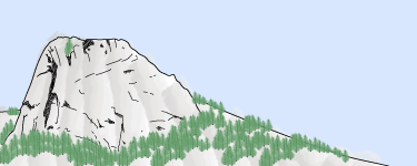
Start with an easy descent of about 150 feet in the first two miles to Bonito Creek. Then climb over 1,000 feet for the next 2-1/2 miles to Trail Peak. Near the top, visit the WWII bomber wreckage. From the top of the peak, drop about 1,000 feet in a mile to Fowler Pass. Curve northeast and continue your descent to Crater Lake.
On the Way
Visit the B-24 wreckage near the top of Trail Peak.
Water
Water is available at Beaubien and Crater Lake. You cross Bonito Creek about mile 2.
Itineraries
Itinerary 2 - day 10
Itinerary 9, day 10
Itinerary 16, day 10
Camps
Beaubien: staffed camp with Western lore, branding, horseback rides, chuck wagon dinner (some itineraries), and cowboy campfire. Showers.
Crater Lake: staffed camp with spar pole climbing, sawing competition, and company meeting campfire.